
Drought assessments in near real-time

NOAA’s National Integrated Drought Information System (NIDIS) has supported ClimateEngine.org since its inception and uses Climate Engine tools to analyze climate and Earth observations datasets to improve monitoring and early warning of drought (including snow drought), groundwater-dependent ecosystems, fire danger, crop-failure risk, and more.

NOAA’s National Integrated Drought Information System (NIDIS) has continuously supported Climate Engine, starting in 2015, with the development of the California-Nevada Drought Early Warning System (CA-NV DEWS) in conjunction with the 2015 Nevada Drought Forum. Through the Drought Forum and the creation of the CA-NV DEWS, several key goals and recommendations were identified, as outlined in the CA-NV DEWS 2017-2018 Strategic Plan and Recommendations Report to Nevada Governor Brian Sandoval — to develop approaches for efficient and scalable place-based rangeland and agricultural drought monitoring using remote sensing and spatial climate datasets, enhance seasonal forecasts of precipitation and evaporative demand and associated visualization tools, and perform outreach and stakeholder engagement. These goals and recommendations were met and created numerous opportunities for advanced operational place-based drought monitoring and early warning.
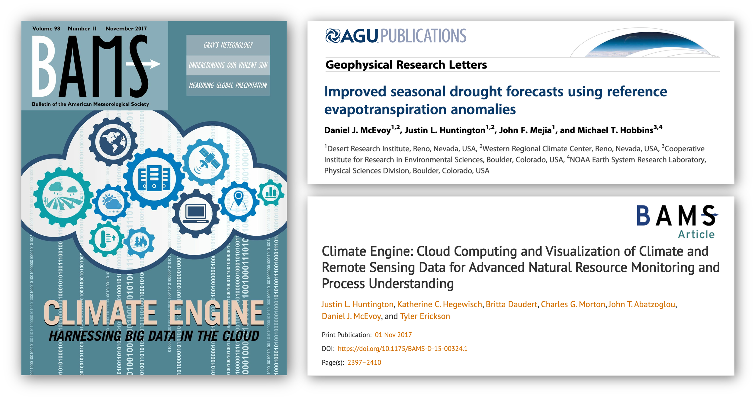
Our initial “Google Drought” faculty research award by Google Earth Engine in 2014 — followed by federal funding from NOAA-NIDIS — led to a very fruitful and rewarding public-private partnership, resulting in the 2016 White House Water Summit featuring the official launch of ClimateEngine.org, dozens of research products, and advancing research-to-operations activities. A few primary examples are publications of Improved Subseasonal Drought Forecasts Using Reference Evapotranspiration Anomalies in 2015, Climate Engine publication and front cover in the Bulletin of the American Meteorological Society (BAMS) in 2017, and research-to-operations and data dissemination of the Evaporative Demand Drought Index (EDDI) on within NOAA and the Climate Engine web application.
With support from NOAA NIDIS, ClimateEngine.org has produced tools that build upon best-available drought science to provide operational data products and on-the-fly analysis capabilities.
As the Climate Engine-NOAA NIDIS partnership continues, new datasets, processing capabilities, outreach, and web application and API enhancements will continue to advance drought monitoring and early warning. Plans for FY2023 include new choropleth mapping functionality for agricultural fields, watersheds, grazing units, and political boundaries, access to pre-computed spatial summary time series of vegetation, evapotranspiration, and drought indicators, and integration of Climate Engine API processing with the West Wide Drought Tracker. These and other updates will be highlighted on Drought.gov and ClimateEngine.org’s News page. For more background on Climate Engine and partnership with NIDIS, check out our Medium Blog post written for Google Earth and NIDIS summary of our project.

The Climate Engine API is used to produce real-time drought maps for Drought.gov’s Current Conditions page.
The NIDIS Reauthorization Act of 2018 directed NIDIS to provide timely data, assess new technology to improve processing speed, utilize existing forecasting and assessment programs, improve subseasonal forecasts, and continue monitoring activities related to drought. These monitoring activities included prediction of drought that includes evaporative demand and improvements to forecast communication and early warning capabilities. Climate Engine’s continued partnership with NIDIS has focused on advancing topics identified in the reauthorization act. This has resulted in multiple publications — notably Exploring the Origins of Snow Drought in the Northern Sierra Nevada, California and Establishing Relationships between Drought Indices and Wildfire Danger Outputs — and new data products and processing, visualization, and dissemination capabilities through the Climate Engine web application. Among the new data products and capabilities were the development and dissemination of the Multi-Indicator Drought Index (MIDI) for monitoring short-term and long-term drought conditions and the launch of the Climate Engine Application Programming Interface (API), which is currently being used for on-demand operational production of current condition datasets and maps on Drought.gov.