MRRMaid MVP - 10m - 5day
Description
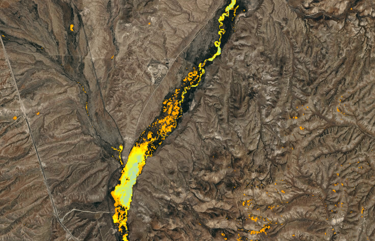
The Mesic Resource Restoration Monitoring Aid (MRRMaid) toolbox is a set of satellite-based monitoring tools for dryland mesic ecosystems in the US Intermountain West. Mesic ecosystems include river corridors (rivers, floodplains, and riparian zones), wetlands, wet meadows, and other freshwater environments. The web apps in this toolbox have been designed so that a user can zoom in and out of specific areas, draw polygons for their area of interest, and then show maps and plots of mesic ecosystem change over time. The MVP product shows the persistence of mesic vegetation across years, indicating areas where wet riparian vegetation consistently occurs.
Climate Engine details
- Dataset type
- Remote Sensing
- Climate Engine ID
- MRRMaid_MVP
- Documentation
- No link provided
Dataset details
- Scale
- 10m
- Frequency
- 5 Day
- Coverage
- Western US
- Start year
- 2017
- End year
- Present
Earth Engine collection details
- Earth Engine asset
- COPERNICUS/S2_HARMONIZED
- Earth Engine source catalog
- Private Collection
Variables
API variable docs: #mrrmaid-mesic-vegetation-persistence
| Name | Units |
|---|---|
| mesic_veg | N/A |
References
- Shrestha, N., Kolarik, N., Iskin, E., and Brandt J. (2023). Decision Support Tool - GEE Web App for Mesic Vegetation Persistence.
Website: https://www.boisestate.edu/hes/projects/mrrmaid-mesic-resource-restoration-monitoring-aid/
Terms of use
Creative Commons Attribution 4.0 International (CC BY 4.0)