National Land Cover Database
Note: In Climate Engine we provide the most recent National Land Cover Database (NLCD) image available in the Google Earth Engine collection listed below.
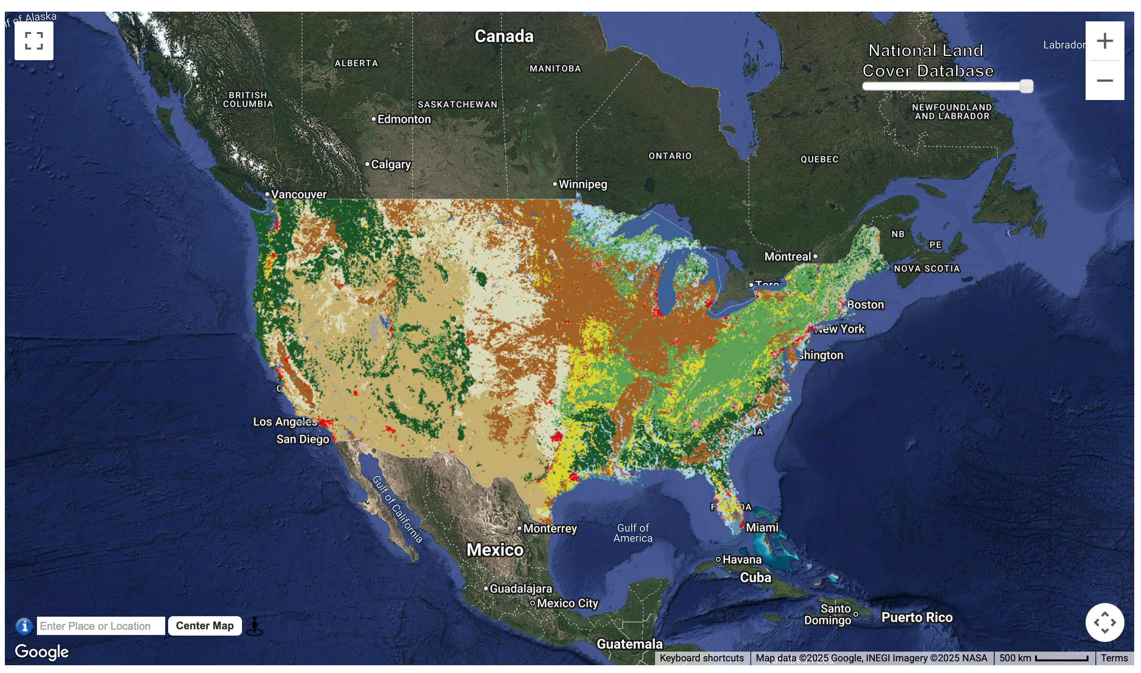
Description
The USGS Land Cover program integrates methodologies from the National Land Cover Database (NLCD) and the Land Change Monitoring, Assessment, and Projection (LCMAP), along with advanced deep learning, to create Annual NLCD a dataset suite that includes six products, each representing various U.S. land cover and change characteristics. The U.S. Geological Survey’s (USGS) Annual NLCD Collection 1.0 leverages innovations from the National Land Cover Database (NLCD) and Land Change Monitoring, Assessment, and Projection (LCMAP) projects, incorporating modern deep learning techniques to deliver accurate, annual land cover and surface change data across the U.S.
Organization
USGS
Website
https://www.usgs.gov/centers/eros/science/annual-national-land-cover-database
Google Earth Engine
https://gee-community-catalog.org/projects/annual_nlcd/?h=nlcd
Terms of Use
NLCD datasets are provided under a Creative Commons Zero v1.0 Universal license.
Provided by: USGS
Curated in GEE by: Samapriya Roy
References
U.S. Geological Survey (USGS), 2024, Annual NLCD Collection 1 Science Products: U.S. Geological Survey data release, https://doi.org/10.5066/P94UXNTS.