GPM
Climate/Hydrology · Climate Engine ID: GPM_DAILY
Dataset specifications
| Spatial resolution | 11km |
|---|---|
| Temporal frequency | Daily |
| Geographic coverage | Global |
| Period of record | 2000–Present |
Overview
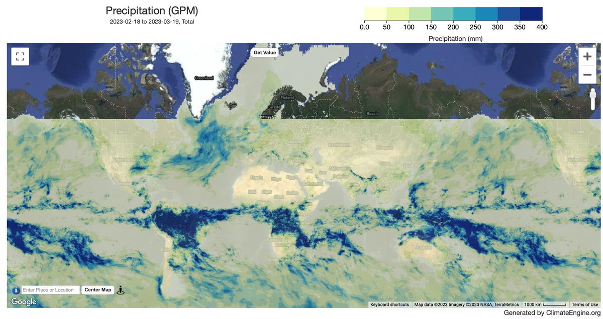
Global Precipitation Measurement (GPM) is an international satellite mission to provide next-generation observations of rain and snow worldwide every three hours. NASA and the Japanese Aerospace Exploration Agency (JAXA) launched the GPM Core Observatory satellite on February 27th, 2014, carrying advanced instruments that set a new standard for precipitation measurements from space. The data they provide is used to unify precipitation measurements made by an international network of partner satellites to quantify when, where, and how much it rains or snows around the world.
Variables
2 variables available.
| Variable | Units |
|---|---|
| Precipitation Calibrated | mm |
| Standardized Precipitation Index (SPI) | — |
Source and access
Source catalog: ClimateEngine.org
- Dataset website
- Earth Engine documentation: Not publicly available
Earth Engine assets
projects/climate-engine-pro/assets/ce-gpm-imerg-v07/final-dailyprojects/climate-engine-pro/assets/ce-gpm-imerg-v07/late-dailyprojects/climate-engine-pro/assets/ce-gpm-imerg-v07/early-daily
Usage and attribution
Processing notes
No processing notes provided.
References
- Jackson, Gail & Berg, Wesley & Kidd, Chris & Kirschbaum, Dalia & Petersen, Walter & Huffman, George & Takayabu, Yukari. (2018). Global Precipitation Measurement (GPM): Unified Precipitation Estimation from Space. 10.1007/978-3-319-72583-3_7.
Terms of use
All NASA-produced data from the GPM mission is made freely available for the public to use.