FLDAS
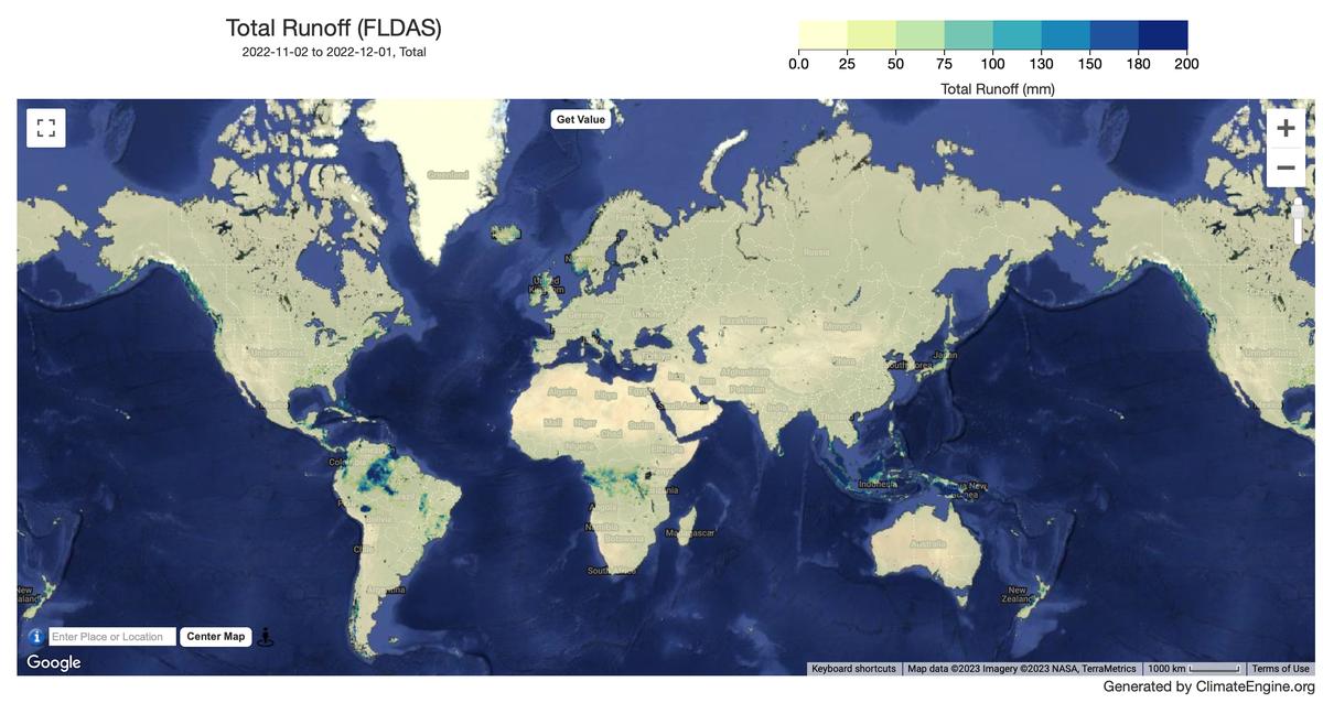
Climate/Hydrology · Climate Engine ID: FLDAS
Dataset specifications
| Spatial resolution | 9.6km |
|---|---|
| Temporal frequency | Monthly |
| Geographic coverage | Global |
| Period of record | 1982–Present |
Overview
The FLDAS Global model (McNally et al. 2017) is a custom instance of the NASA Land Information System (LIS; http://lis.gsfc.nasa.gov/) that has been adapted to work with domains, data streams, and monitoring and forecast requirements associated with food security assessment in data-sparse, developing country settings. Adopting LIS allows FEWS NET to leverage existing land surface models and generate ensembles of soil moisture, ET, and other variables based on multiple meteorological inputs or land surface models. The goal of the FLDAS project is to achieve more effective use of limited available hydroclimatic observations and is designed to be adopted for routine use for FEWS NET decision support.
Variables
8 variables available.
| Variable | Units |
|---|---|
| Evapotranspiration | mm |
| Near Surface Air Temperature | K |
| Root Zone Soil Moisture (0-100cm) | mm |
| Snow Depth | mm |
| Snow Water Equivalent | mm |
| Surface Runoff | mm |
| Surface Soil Moisture (10cm) | mm |
| Total Runoff | mm |
Source and access
Source catalog: Earth Engine Catalog
Earth Engine assets
NASA/FLDAS/NOAH01/C/GL/M/V001
Usage and attribution
Processing notes
No processing notes provided.
References
- If you use these data in your research or applications, please include a reference in your publication(s) similar to the following example: Amy McNally NASA/GSFC/HSL (2018), FLDAS Noah Land Surface Model L4 Global Monthly 0.1 x 0.1 degree (MERRA-2 and CHIRPS), Greenbelt, MD, USA, Goddard Earth Sciences Data and Information Services Center (GES DISC), Accessed: [Data Access Date], 10.5067/5NHC22T9375G
- McNally, A., Arsenault, K., Kumar, S., Shukla, S., Peterson, P., Wang, S., Funk, C., Peters-Lidard, C.D., & Verdin, J. P. (2017). A land data assimilation system for sub-Saharan Africa food and water security applications. Scientific Data, 4, 170012.
Terms of use
Distribution of data from the Goddard Earth Sciences Data and Information Services Center (GES DISC) is funded by NASA's Science Mission Directorate (SMD). Consistent with NASA Earth Science Data and Information Policy, data from the GES DISC archive are available free to the user community. For more information visit the GES DISC Data Policy page.